
Jamestown Education Foundation
Think-Shape-Grow Water Solutions

Think-Shape-Grow, a Water Education Program, is a 3-phase dynamic learning plan designed to enable students to develop a growth-mindset through experiential S.T.E.A.M.-driven objectives and activities designed to achieve innovative solutions that address the problem of water scarcity. Students will actively participate in individual, team and experiential activities that will engage them in the water scarcity issues within their small island community. The valuable skill sets developed during these activities will foster divergent thinking while refining solutions for proposal in local and global challenges.
Water is an issue of concern to Jamestown, Rhode Island, a small community located on Conanicut Island at the mouth of Narragansett Bay because all freshwater on the island comes from precipitation. With a grant of $6,116 from Woodard & Curran Foundation students will tackle this complex problem in the community and learn the challenges faced when water is scarce such as water quality issues, water consumption, and cost factors through classroom and community based experiences.
The project has three distinct phases, Think, Shape, and Grow, which provide students with the necessary knowledge and skills to work on developing solutions that have a lasting and positive impact on the environment.

THINK
Think provides foundational design skills like mind mapping, associational thinking, and creating low-fi prototypes on which students rely when proposing solutions to any problem. Students learn to work efficiently as teams, see the value and impact of collaboration, self-reflection, and peer critique and take the approach of professional designers: listening, researching, and proposing solutions for their clients
SHAPE
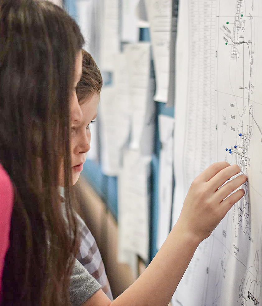
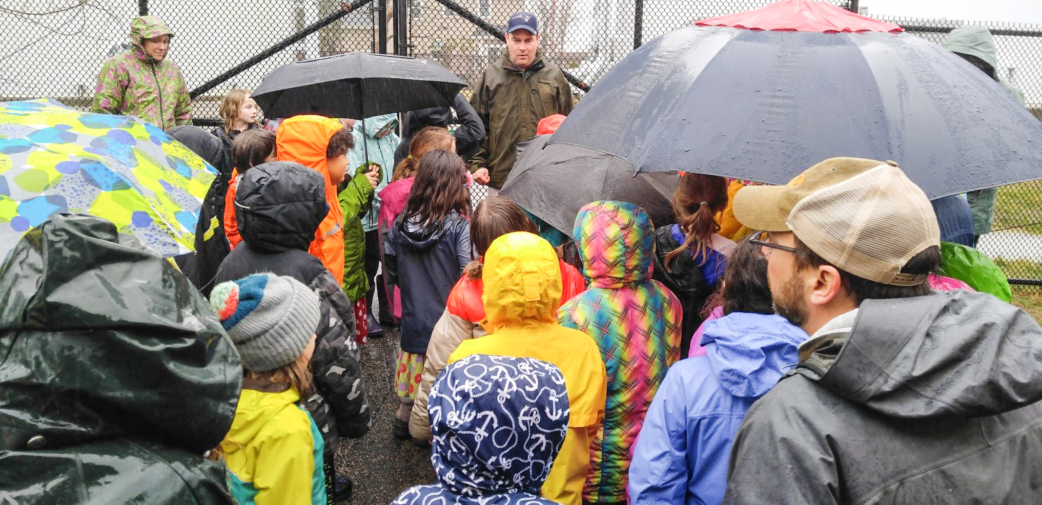
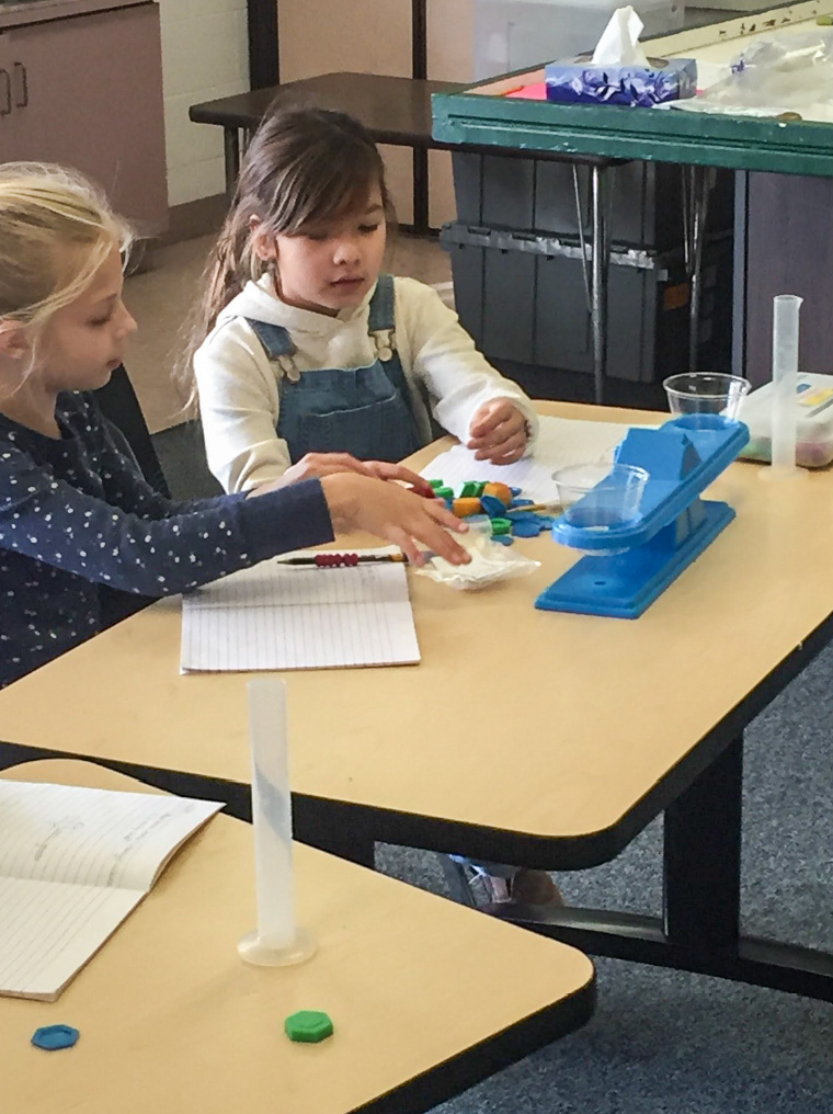
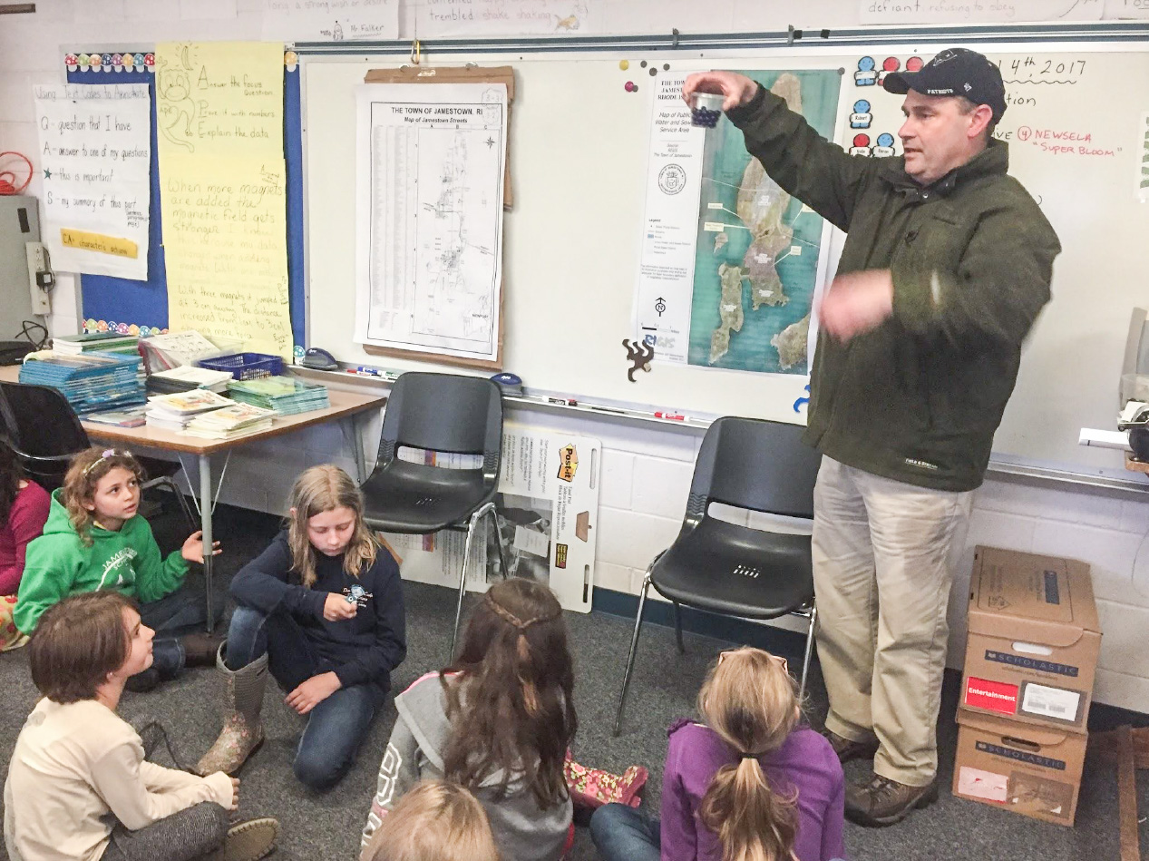
The Shape phase focuses on the significance of form, function, and the impact of design. Students deepen their understanding of water scarcity, explore sites on their island, and use water sampling kits to understand how environmental scientists gather data from the field. Students have mentorship from a panel of water sector experts composed of community members from various geographic locations on the island, as well as members of the public works, building and zoning departments. Students are mapping the island using ArcGIS, and in particular, mapping where the water is located on the island and how it gets into the homes in that area. Engineering challenges from the ArcGIS mapping focus on several questions: How do people move water across great distances? How can we move water around our island?
GROW
During the Grow phase, students address the problem of water scarcity in their community and beyond. Distances from Jamestown to other geographic locations are computed for reference and comparisons are made with different states and other areas of the world, establishing national and global connections with other communities with water scarcity issues. Using social media, all TSG activity will be accessible and the program will be turned into a curriculum. The TSG: Water Scarcity Educational Resource Book will be published upon completion and available on Amazon.com and offered free as a downloadable PDF from the TSG Twitter site and Woodard & Curran Foundation website